Snæfellsnes peninsula — 2-day self-drive itinerary
Grundarfjörður: From Reykjavik full day Snaefellsnes peninsula
Duration: ~11 hours
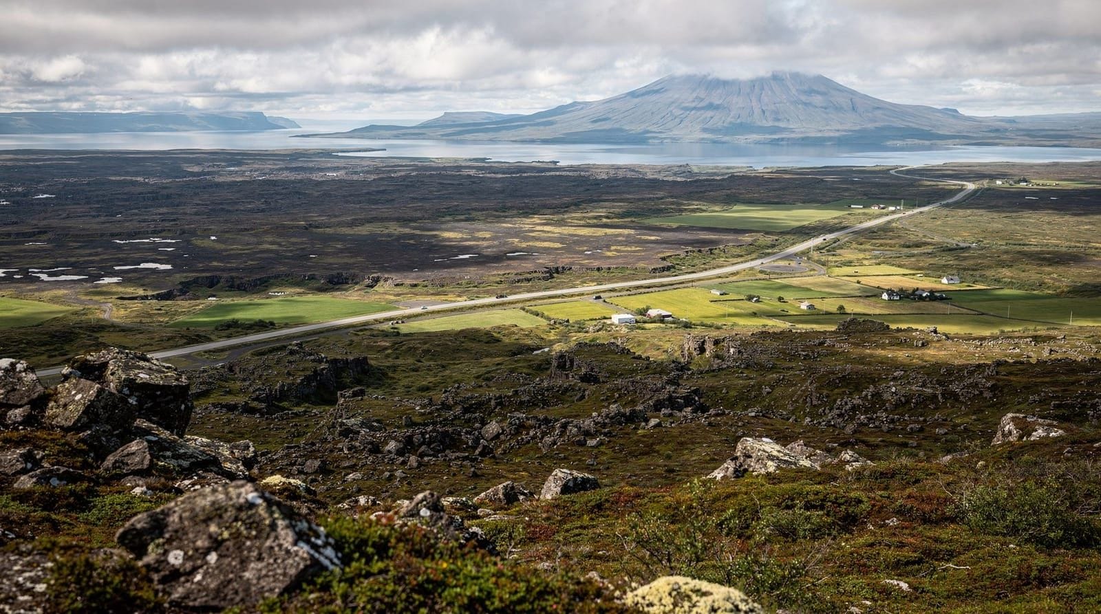
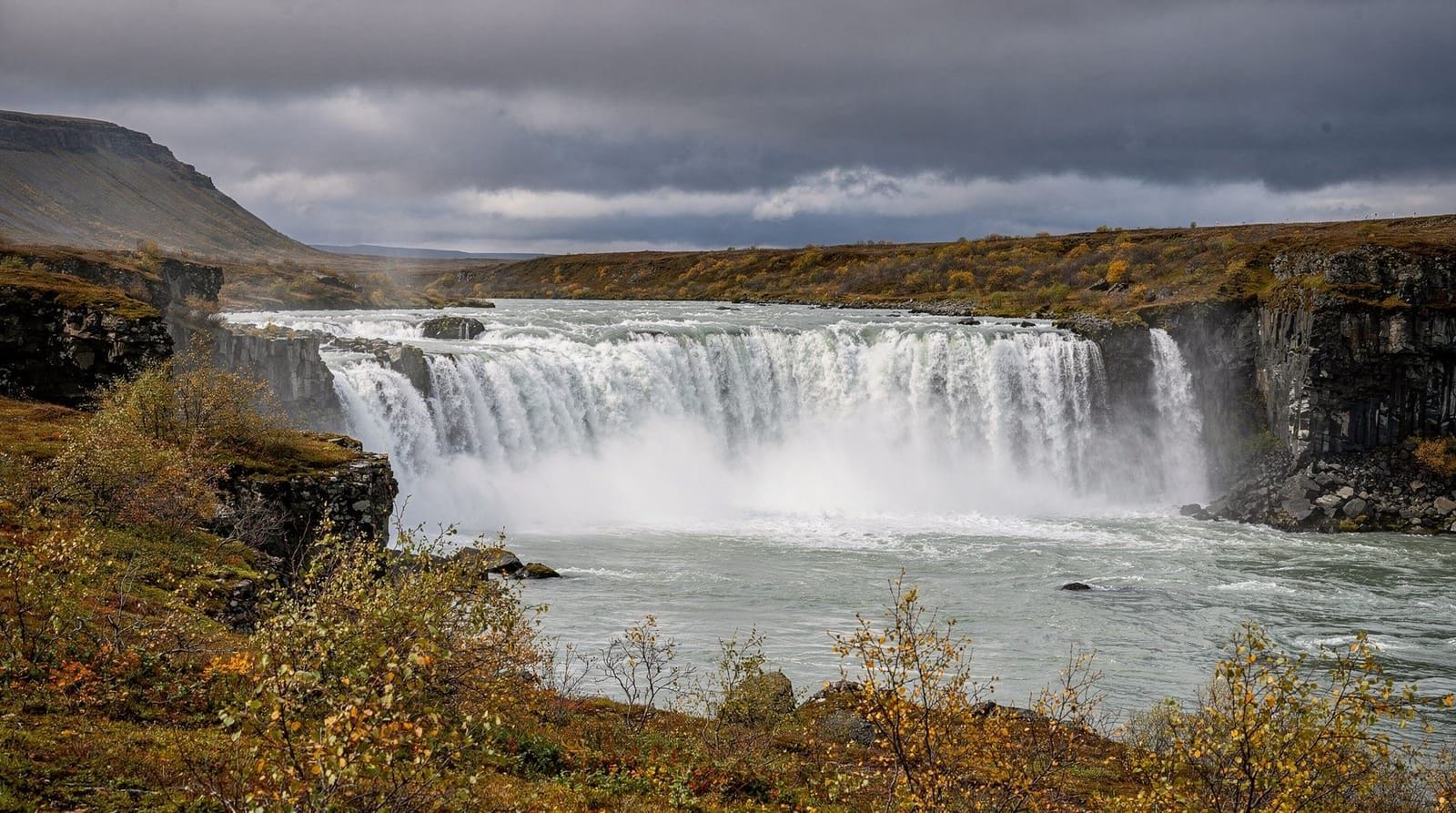
The Snæfellsnes peninsula juts 90 km into the North Atlantic from Iceland’s west coast, concentrating glacier, lava fields, fishing villages, sea cliffs, and a glacier-capped volcano into a 1,700 km² strip of land. Icelanders sometimes call it “Iceland in miniature” — and while that phrase gets overused in tourism marketing, it is genuinely accurate. You can experience more varied landscape per kilometre here than almost anywhere else in the country.
Two days is the minimum to do the peninsula properly, though three gives you breathing room. This itinerary uses Grundarfjörður as an overnight base — it is well-positioned, affordable, and directly beneath Kirkjufell, which saves you driving back for the golden-hour shot.
Before you leave Reykjavík
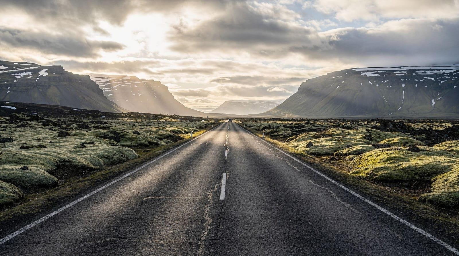
The drive from Reykjavík to Grundarfjörður is 185 km and takes about 2 hours 30 minutes in good conditions via Route 1 and then Route 54 through Borgarnes. Leave by 08:00 if possible — the roads can be slow around Borgarnes, and you will want afternoon light for Kirkjufell.
Fuel up in Borgarnes (N1 station on Route 54). There are petrol stations in Grundarfjörður and Stykkishólmur, but gaps between stations on the northern side of the peninsula mean you should not rely on finding one when you need it.
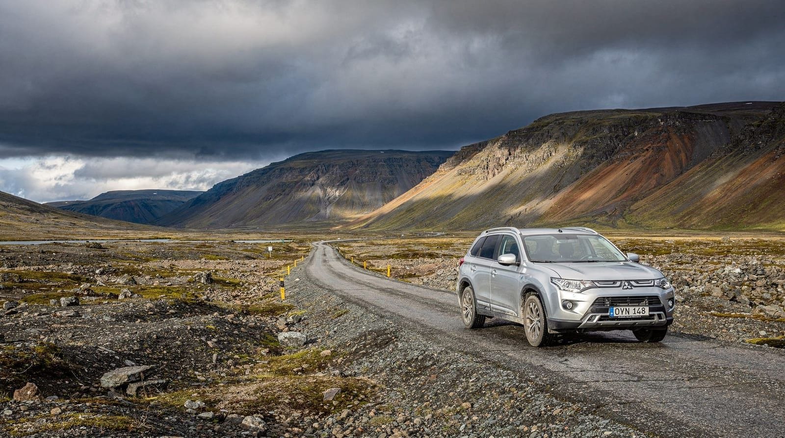
Car rental: a standard 2WD compact (Toyota Yaris or similar) handles all the paved roads on this itinerary. Snæfellsnes has no F-roads in this route. Budget for 90,000–110,000 ISK (€610–€750) for two days including insurance if booking last-minute in summer. Pre-booking from renting-a-car-iceland via comparison sites typically saves 15–25%.
Day 1 — Grundarfjörður, Kirkjufell, and the north coast
Morning: Arrival and Kirkjufell
Check in at Hotel Framnes in Grundarfjörður (doubles from 28,000 ISK / €190 in summer, breakfast included). The hotel sits on the harbour — basic but clean, and the staff can advise on morning light angles at Kirkjufell. Alternatively, the Kirkjufell Guesthouse runs clean en-suite doubles at around 22,000 ISK (€150).
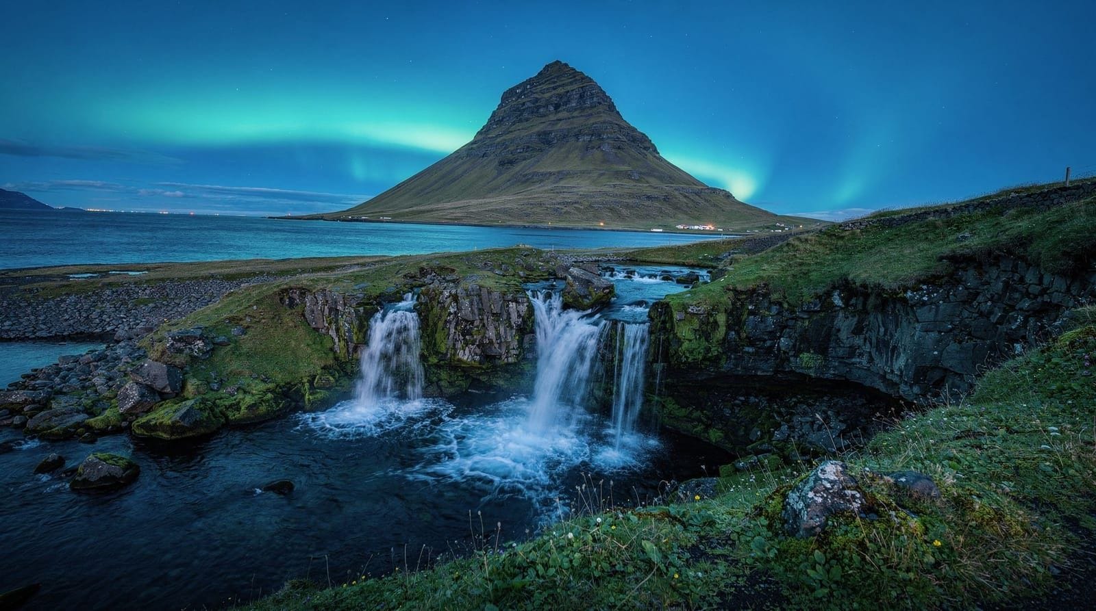
Kirkjufell is a 463-metre isolated cone 2 km east of Grundarfjörður. Park at the Kirkjufellfoss car park (free). The classic shot frames the mountain behind the waterfall — walk 5 minutes downstream along the riverbank. Kirkjufell is one of the most photographed places in Iceland; to avoid crowds, arrive before 08:30 or after 18:00 in summer. In late afternoon on clear days, the mountain catches a warm directional light that makes mid-morning visits look flat.
Midday: Ólafsvík and Snæfellsbær
Drive west along Route 54 to Ólafsvík (30 km, 35 minutes), a working fishing town that does not cater heavily to tourists — which is why the Hraun Café here (Ólafsbraut 22) is worth stopping at for a bowl of lamb soup around 1,800 ISK (€12). Pick up a litre of drinking water from the Krambúð supermarket if you have not brought your own.
Continue southwest to the Snæfellsnes National Park visitor centre at Hellnar (25 km, 30 minutes). The centre has free exhibits on the glacier and geology. Walk the 2.5 km coastal path from Hellnar to Arnarstapi — one of the finest short hikes in west Iceland, with basalt arch formations and seabird colonies. Allow 1 hour return.
Afternoon: Djúpalónssandur and the south coast
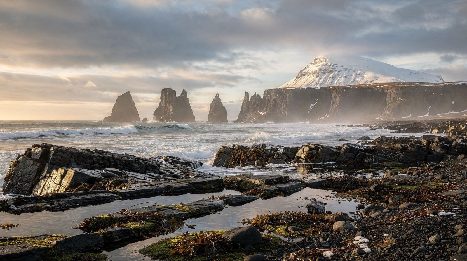
Djúpalónssandur is a black pebble beach on the southwestern tip of the peninsula, reached via a 2 km gravel spur off Route 574. It is free to visit and takes 45 minutes to see properly. The rusted iron wreckage on the beach is from the British trawler Epine, which ran aground in 1948 — a deliberately unrestored reminder of the cost of North Atlantic fishing. The lifting stones near the car park (called Aflraunasteinar) test traditional fishing-crew strength levels: the lightest is 23 kg, the heaviest 154 kg.
By 17:00, drive back to Grundarfjörður along Route 574 and Route 54 (total about 60 km, 1 hour). Dinner at Kaffi Emil, Grundarfjörður’s main restaurant, runs to 3,500–5,500 ISK (€24–€37) for a main course. The grilled Arctic char is reliably good and locally sourced.
Day 2 — Snæfellsjökull, Vatnshellir cave, and Stykkishólmur
Morning: Snæfellsjökull glacier and Vatnshellir
Check out and drive to the glacier viewpoint parking at Jökulháls (55 km from Grundarfjörður via Route 54 and 574, 55 minutes). The Snæfellsjökull glacier sits on top of a 1,446-metre strato-volcano and was the starting point of Jules Verne’s Journey to the Centre of the Earth. In summer, guided snowmobile and glacier walks depart from here — companies include Arctic Adventures and Glacier Journey. Snowmobile tours cost around 22,000 ISK (€150) per person for 1.5 hours. Book in advance in July and August.
Vatnshellir cave is 8 km from the glacier approach road and is the only cave in Snæfellsnes National Park open to visitors. Entry is guided only, runs on the hour from 10:00 to 18:00 (May–September), and costs 3,500 ISK (€24) per adult. The tour lasts 45 minutes and descends through an 8,000-year-old lava tube to a depth of 35 metres — genuinely impressive formations. Children aged 5 and under are not admitted due to the steep descent.
Not driving? Reykjavík-based day tours cover the main peninsula highlights in around 11 hours — a reasonable option if you only have one day to spare and no rental car.
Midday: Búðir black church and the wetlands
Búðir is a hamlet of seven buildings on the south coast, notable for its black painted wooden church (1848) in an exposed lava field beside a lagoon. The Hotel Búðir (doubles from 65,000 ISK / €440 in summer) is Iceland’s most famous small hotel — atmospheric, expensive, and run by the same family since the 1970s. If you are on a mid-range budget, the restaurant is accessible for lunch: fish of the day runs 4,800–6,200 ISK (€33–€42). The surrounding wetlands are good for birdwatching in May–June when Arctic terns are nesting.
Afternoon: Stykkishólmur and the drive south
Stykkishólmur (population 1,200) is the peninsula’s main town and the most interesting culturally. The library and café combination at the Norwegian House museum (Norska Húsið) charges 1,000 ISK (€7) entry and provides a good hour of local history context. The harbour has a fish-and-chips kiosk open in summer that is widely regarded as offering the best value lunch on the peninsula — fresh haddock and chips for around 2,200 ISK (€15).
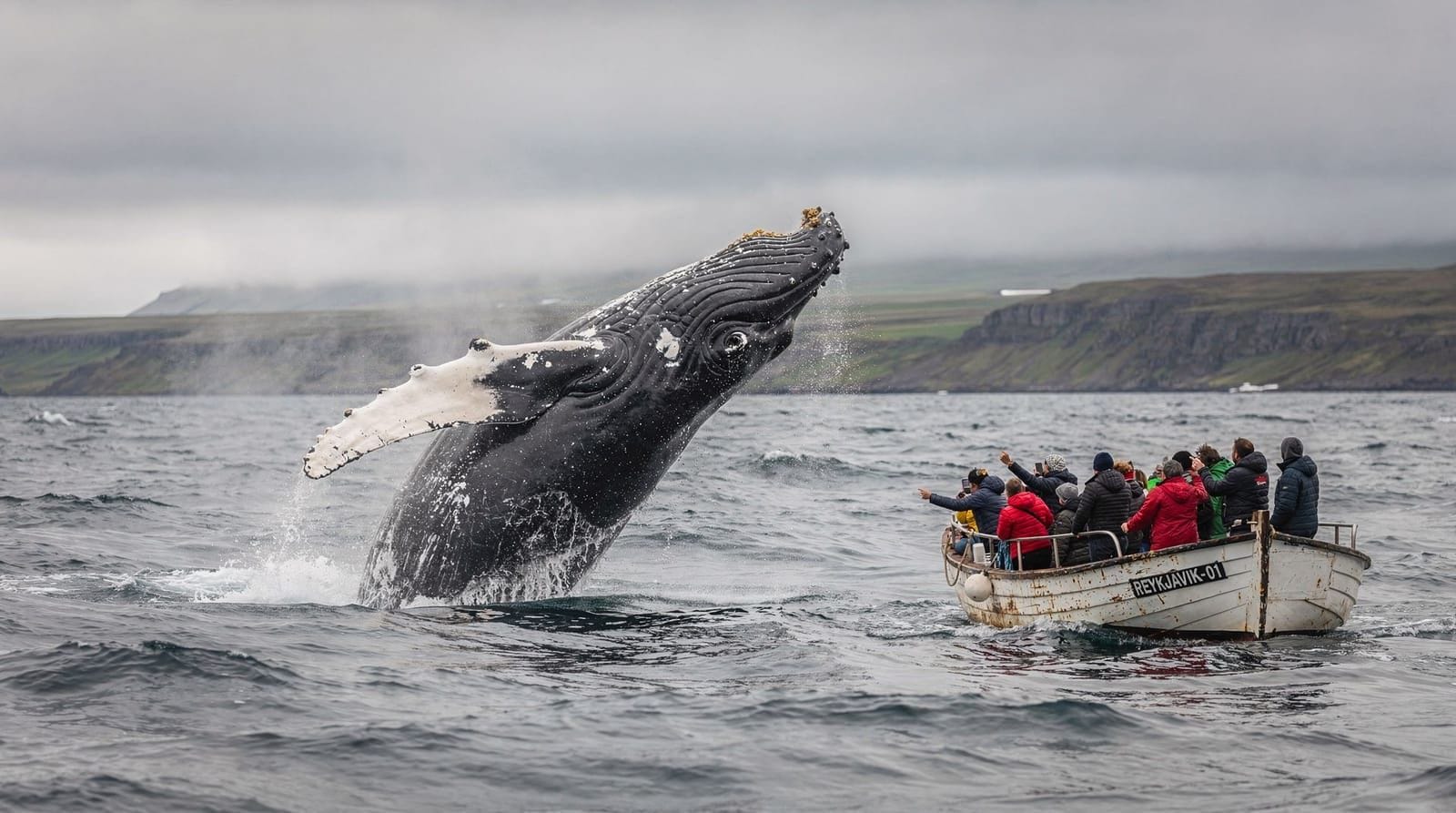
Whale watching from Arnarstapi and the peninsula’s north coast runs seasonally and covers humpback and minke whale territory — a genuinely different viewpoint to the Reykjavík harbour tours.
Leave Stykkishólmur by 15:30 to allow the 2-hour 15-minute drive back to Reykjavík via Borgarnes on Route 54 and Route 1. If you are heading east (toward the South Coast or the Highlands), Route 54 connects at Bifröst to the Ring Road.
Practical logistics
Driving distances summary:
- Reykjavík to Grundarfjörður: 185 km (2h 30min)
- Grundarfjörður–Ólafsvík–Hellnar–Arnarstapi–Djúpalónssandur loop: ~110 km (3h with stops)
- Day 2 Grundarfjörður–Glacier–Vatnshellir–Búðir–Stykkishólmur: ~100 km (2h 30min driving)
- Stykkishólmur to Reykjavík: 180 km (2h 15min)
Where to stay:
- Hotel Framnes, Grundarfjörður — best value with harbour view, from 28,000 ISK
- Kirkjufell Guesthouse — budget option, from 22,000 ISK
- Hotel Búðir — splurge option, from 65,000 ISK, worth it for one night if budget allows
Petrol stations: N1 in Grundarfjörður (open 08:00–23:00), N1 in Ólafsvík, Stykkishólmur has an Orkan. No petrol between Arnarstapi and Grundarfjörður on the south coast spur.
For the broader west Iceland context and roads, see the driving in Iceland guide before departure.
Snæfellsnes wildlife and birdwatching
The peninsula’s coastline is one of the best places in Iceland to see seabirds without a boat. The cliff walk between Hellnar and Arnarstapi provides reliable views of kittiwakes, Arctic fulmars, razorbills, and guillemots nesting in the basalt columns. In May–July, Atlantic puffins nest in burrows on the grass tops above the cliffs — approach slowly and stay 5 metres back to avoid disturbing them.
Arnarstapi harbour is also a year-round spot for watching grey and harbour seals hauled out on rocks at low tide. The rocks below the Gatklettur arch (5 minutes’ walk west of Arnarstapi) reliably hold 15–25 seals in summer. They are indifferent to observers but will slide into the water if approached within 30 metres.
The Snæfellsnes peninsula is also Iceland’s second-most important wintering ground for orcas (killer whales) after the Westfjords — sightings are unpredictable but reasonably common in January–March from the headlands on the northern coast.
ATV tours around the base of Snæfellsjökull glacier operate in summer and provide access to remote lava fields and coastal sections that are difficult to reach by standard car. Tours run 2–4 hours and are available for riders without prior ATV experience.
Getting to the peninsula — transport options
Driving from Reykjavík: The most practical approach for this itinerary. Route 1 north to Borgarnes, then Route 54 west. Total 185 km to Grundarfjörður.
Sterna bus service: A summer bus route (Sterna / Strætó) runs from Reykjavík’s BSÍ terminal to Stykkishólmur, with stops at Borgarnes, Búðardalur, and eventually Grundarfjörður. Journey time approximately 3.5–4 hours one way. The bus runs once daily in each direction in summer — useful if you want to see the peninsula without driving but significantly limits your flexibility at each stop.
Organized day tours from Reykjavík: Multiple operators run 11–12 hour day trips to Snæfellsnes from Reykjavík. These cover the main highlights (Kirkjufell, Arnarstapi, the glacier viewpoint) but are rushed at each stop and return after dark in summer. If you can spare the extra night, two days is meaningfully better.
Frequently asked questions about this 2-day Iceland itinerary
Can I do Snæfellsnes as a day trip from Reykjavík?
Technically yes — organized day tours run about 11 hours and cover the main stops. But it is rushed: you spend 5 hours driving and have limited time at each location. Two days lets you reach Kirkjufell at golden hour, explore the glacier properly, and visit Stykkishólmur without rushing. If you only have one day, the Snæfellsnes day trip guide covers the optimized single-day route.
Do I need a 4WD car for this itinerary?
No. All roads in this itinerary are paved or well-maintained gravel (the short Djúpalónssandur spur is gravel but suitable for any car). A standard 2WD is fine from late May to early October. If visiting November–April, winter tyres are legally required and a 4WD gives meaningful safety margin on icy roads.
What is the best time of year for Snæfellsnes?
Late May to early September offers the best combination of weather, daylight, and accessible roads. July and August are peak season — expect crowds at Kirkjufell (60–80 cars in the car park at midday) and advance booking on accommodations. September and October reduce crowds significantly and offer better chances of northern lights.
Is Kirkjufell worth visiting in winter?
Yes — it is arguably more dramatic in winter with snow on the peak and ice forming in the waterfall. However, daylight is limited (5–6 hours in December), and the road along the north coast can close after heavy snowfall. Check safetravel.is before departing. See the northern lights self-drive guide if aurora is part of the plan.
How much does this 2-day itinerary cost?
A realistic mid-range budget per person (sharing a room) breaks down roughly as: car rental 40,000–55,000 ISK (€270–€375), fuel 5,000–7,000 ISK (€34–€48), accommodation 11,000–14,000 ISK per person per night (€75–€95), food 4,000–6,500 ISK per day (€27–€44). Total: 75,000–100,000 ISK (€510–€680) per person for two days excluding flights. The Iceland on a budget guide has detailed supermarket and dining-down strategies.
What should I know about the glacier approach road?
Route 570 to the Snæfellsjökull glacier is unpaved and rough in sections. In winter and early spring it is often impassable without a 4WD. In summer (June–September), most standard cars can reach the viewpoint car park if driven carefully. The summit glacier itself requires a guide — solo hiking onto the icecap is strongly discouraged due to crevasse risk.
Are there any attractions suitable for children?
Vatnshellir cave is appropriate for children 6 and older (under 5 not admitted). The Djúpalónssandur beach and lifting stones are engaging for all ages. The coastal walk from Hellnar to Arnarstapi is gentle and accessible. The ATV tours around the glacier base have age and weight minimums — check with operators directly.
What is the difference between the north coast and south coast of Snæfellsnes?
The north coast (Grundarfjörður–Ólafsvík–Hellnar) is more dramatic and exposed, with higher mountains, better views of the glacier, and more populated hiking trails. The south coast (Búðir–Arnarstapi) is flatter, wetter, and has the black lava fields that give it an otherworldly atmosphere. Most visitors spend more time on the north coast because the access road (Route 54) is the main route, but the south coast’s Búðir church and Berserkhraun lava field are genuinely worthwhile. If time allows, driving the full loop (Route 54 on the north side, Route 574 and 56 on the south) covers both coasts in a single day.
Where should I stop for food on the north coast?
The north coast between Grundarfjörður and Ólafsvík has limited restaurant options outside the main towns. Practical stops: Hraun Café in Ólafsvík (lamb soup, sandwiches, 1,800–2,800 ISK / €12–€19), Fjöruhúsið in Hellnar (Iceland’s most famous seaside café, cakes and coffee, 900–1,800 ISK / €6–€12 for a cake and coffee), and Kaffi Emil in Grundarfjörður (dinner, 3,500–5,500 ISK / €24–€37 for mains). There is a Krambúð convenience store in Ólafsvík for supermarket supplies, and a similar small shop in Grundarfjörður.
The Búðir hotel restaurant serves lunch and dinner at significantly higher prices than the cafés above — the setting justifies a coffee stop but not necessarily a full meal unless budget is not a concern.
Is Snæfellsnes worth visiting in October and November?
October and November are genuinely underrated months for Snæfellsnes. The summer crowds have departed (visitor numbers drop by 60–70%), the accommodation prices fall 20–35%, and the combination of autumn colours on the hillsides, frequent dramatic skies, and the first northern lights of the season makes for compelling photography. Route 54 and Route 574 are passable in October in a standard car, though the mountain pass section east of Ólafsvík can get early-season snow from mid-October. A 4WD is worth booking from October onward. Daytime temperatures average 4–8°C with shorter daylight (8–10 hours in October, 6–7 hours in November).
How should I deal with crowds at Kirkjufell?
Kirkjufell is one of Iceland’s most photographed mountains and the main car park fills quickly after 09:00 in July and August. Practical strategies: arrive before 08:30 for the first light, or arrive after 18:00 for golden hour photography when coach tours have departed. Drone photography at Kirkjufell requires a permit from the local municipality — the area is a registered tourist zone with flight restrictions. Check the Icelandic Transport Authority (samgongustofa.is) for current no-fly zones before bringing a drone.
Top experiences
Bookable activities with verified prices and instant confirmation on GetYourGuide.