Iceland road conditions: how to check, read, and respond
How do I check road conditions in Iceland?
Use road.is (Vegagerðin) — Iceland's official road administration website. It shows colour-coded conditions for every numbered road, updated multiple times daily. Green = open, yellow = caution, orange = difficult, red = impassable, purple = officially closed. Check every morning before driving, not just at the start of the trip.
Road.is: the system you need to understand
Road.is is the public-facing interface of Vegagerðin, Iceland’s Road and Coastal Administration. It is not a third-party app or travel site — it is the government’s own road monitoring system, updated directly by road patrol crews and automated sensors.
The primary view at road.is/en shows an interactive map of Iceland with every numbered road coloured by current conditions. The same information is available on vegagerdin.is in Icelandic with more operational detail.
Colour codes explained
Green — Open, normal driving conditions
Road is passable without special precautions for appropriately equipped vehicles. In winter, “green” still means you should check weather forecasts — conditions can change within hours.
Yellow — Drive with caution
Specific hazard conditions are present: icy surface, poor visibility, high winds, or wet roads with reduced traction. Reduce speed, increase following distance, and be prepared to stop or turn around. Most winter days in Iceland include several yellow-coded segments on the Ring Road.
Orange — Difficult; experience recommended
Significant hazards present that require winter driving experience and a capable vehicle. Amateur winter drivers should consider waiting. If driving, maximum 60 km/h, full attention. Common conditions: packed snow, ice on curves, drifting snow, severe crosswinds.
Red — Impassable conditions
The road is effectively closed by conditions even if not formally shut. You could physically enter the road but would likely not make it through safely. Treat red segments as closed.
Purple — Officially closed
Vegagerðin has formally closed the road. Entry is illegal and actively fined. Emergency vehicles may block access. Purple roads do not open again until crews have cleared and assessed the route; this can take 6–48 hours after the initial closure.
Travel notes: the written descriptions
Alongside the colour map, road.is publishes text descriptions for specific road segments with current conditions. Examples:
“Route 1 between km 140 and 165: icy surface in low areas, drive with caution. Speed advisory 70 km/h.”
“Route 92 Eastfjords pass: reduced visibility due to blowing snow, orange conditions. Only experienced drivers.”
“F26 Sprengisandur: closed. No date for opening.”
These notes give context that colour alone cannot. Check both the map and the travel notes for your planned route.
How conditions change through the day
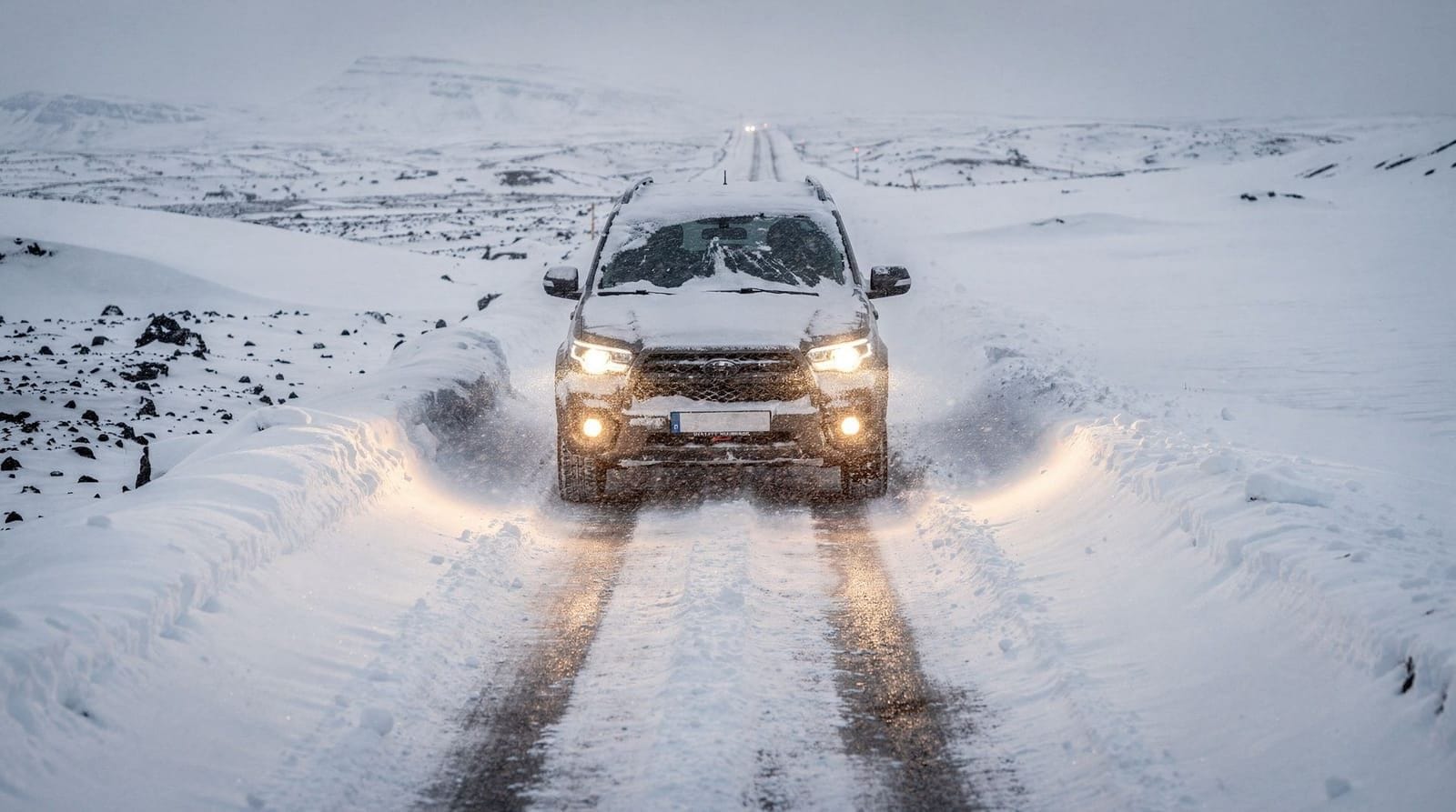
Morning: Road crews begin clearing and gritting at 07:00–08:00. Conditions are often at their worst overnight (no treatment) but improve through the morning. The most dangerous period is often dawn — temperatures at minimum, ice on untreated surfaces.
Afternoon: Glacier melt increases water flow over roads near Vatnajökull and Mýrdalsjökull. Some highland sections that were passable in the morning become risky by 14:00–16:00 due to water on the road.
Evening: Temperatures drop again. Ice reforms on untreated sections. The period 22:00–06:00 is highest risk for black ice on roads that warmed slightly during the day.
Check road.is before you start driving each day, not once at the start of your trip. A green status on Monday says nothing about conditions on Thursday.
The 112.is Iceland app
Separate from road.is, the 112 Iceland app is the official emergency response application:
- Allows you to submit your travel plan — rescuers know where to look if you don’t return
- Sends your GPS location to emergency services with one button press
- Works on cellular data and also sends location via SMS if data fails
- Free download on iOS and Android
Every Iceland traveler driving outside Reykjavik should have this app installed with location permissions enabled. Safetravel.is (accessible via the app) is the travel plan registration system.
Weather forecasts and road condition interaction
Road conditions follow weather — you need both sources:
Vedur.is (Icelandic Meteorological Office): Hourly forecasts per location. Wind speed, precipitation, temperature, visibility. The wind map is particularly useful — it shows gust strength for every region, which affects driving decisions more than temperature in Iceland.
The combination workflow:
- Check vedur.is the evening before for forecast
- Check road.is first thing in the morning for actual current conditions
- Revise your plan based on both
If vedur.is shows an approaching storm system, check the road.is status for your route around 06:30–07:00 — by then, night patrols have reported and the colour map is updated.
Common closure scenarios and what to do
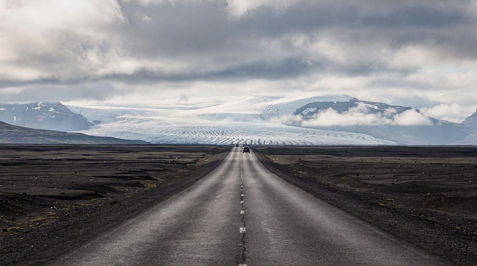
South Coast (Mýrdalssandur / Skeiðarársandur sand plains)
The black sand outwash plains near Vík are the most frequently closed section of the Ring Road. Wind speeds of 25+ m/s can create complete zero-visibility sandstorms that damage vehicles and make the road impassable. These closures typically last 6–24 hours.
What to do: If Vík direction is closed, wait in Reykjavik or Selfoss. Book accommodation flexibly. The closure will lift when the wind drops — check road.is every 2–3 hours during the event.
Eastfjords mountain passes
The passes on Route 1 through the Eastfjords (Breiðdalsheiði, Fjarðarheiði) can close in winter snowfall. Alternative routes exist (coastal byways) but add 30–50 km.
What to do: If the pass closes, take the Route 96 or Route 95 coastal alternative. Less dramatic driving but avoids the closure.
Northern mountain roads
Route 1 between Akureyri and Egilsstaðir crosses elevated terrain that catches snow earlier than the coast. Closures here are less common in summer but can trap vehicles in October–November.
What to do: If your timing is October–November, have accommodation in Akureyri or Egilsstaðir available for an extra night. Closures here rarely last more than 24 hours.
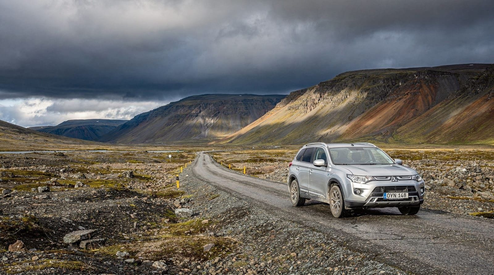
F-road closures
F-roads are closed October–June as standard. Mid-season closures happen if summer storms bring flooding or snow to the highlands.
What to do: Do not attempt a closed F-road. No exception, no workaround.
Road.is webcams: real-time visual conditions
Beyond the colour-coded map, road.is hosts a network of roadside webcams on major routes. These provide actual visual confirmation of conditions:
What webcams show well: Active snowfall intensity, current visibility (whether fog is clearing or settling), actual state of road surface (ice vs clear). If road.is shows yellow for a stretch and the webcam shows clear tarmac, you can drive with more confidence. If the webcam shows a whiteout, the colour coding may actually be understating the danger.
Webcam locations on the Ring Road: Coverage is good on the South Coast and near Reykjavik. The East Fjords passes have one or two cameras but the network is thinner in remote areas.
Accessing webcams: At road.is, click any road segment and the sidebar shows linked webcam feeds. The English-language version includes these.
Seasonal road condition patterns
South Coast (Reykjavik to Höfn)
Summer (June–August): Generally green. Storm-related closures at Mýrdalssandur near Vík 2–4 times per summer, typically 6–18 hours each.
September–October: Mostly green with occasional yellow days when early autumn storms arrive. First ice events on bridges in late October.
November–March: Regular yellow and orange conditions. Mýrdalssandur closures increase significantly; some years 15–20 days total with yellow or worse conditions on that stretch. The South Coast is more reliable than the East in winter but not reliably clear.
East Fjords (Höfn to Egilsstaðir)
Summer: Green. Some gravel track sections near viewpoints.
October–November: Mountain passes (Breiðdalsheiði, Fjarðarheiði) can get their first snowfall. These passes close on orange or red conditions.
December–March: The most volatile Ring Road segment in winter. Pass closures happen regularly; the coastal alternative (Route 96, Route 95) adds distance but avoids mountain passes.
North Iceland (Akureyri area)
Summer: Green. Route 1 is straightforward.
October–April: Route 1 crosses elevated terrain between Akureyri and Egilsstaðir. The Múlasýsla section and Route 1 near Öxnadalsheidi get significant snowfall. Yellow and orange conditions common from November.
Snæfellsnes Peninsula (Route 54/574)
The mountain roads on Snæfellsnes, particularly Route 570 across the glacier approaches, can close or deteriorate significantly from November. The coastal route (Route 574) is more reliable in winter but still subject to wind and ice at exposed headland sections.
After a road opens: the first hour
When a road reopens after a closure, the first 30–60 minutes before road crews have finished are often the most dangerous. Ice may still be present on the road surface; road debris (sand, gravel, storm damage) has not been cleared; road crews may still be working.
Wait 30–60 minutes after a road shows “reopened” on road.is before committing to that route. Use the time to check the webcam (if available) and fuel up. Let a few other vehicles go first if possible.
Safetravel.is: the parallel system
Alongside road.is, safetravel.is is Iceland’s official safety and travel plan registration system operated by the Icelandic Association for Search and Rescue (ICE-SAR).
Travel plan registration: You submit your planned route, vehicle description, number of people in the party, and expected return time. If you don’t confirm your safe return, rescuers are notified and begin following up. This system has directly led to faster rescues when things went wrong.
How to register: Go to safetravel.is and create a travel plan. It takes 5 minutes. Alternatively, the 112.is Iceland app allows you to register plans from your phone. Both systems share data with emergency services.
When to register: Any time you are driving outside the Reykjavik metropolitan area — especially before entering the East Fjords, Westfjords, or any highland route. For Ring Road travel, register the whole trip at the start and update if your plans change significantly.
Real examples of Ring Road closures and their impact
Understanding how closures actually play out helps you plan realistic responses:
Mýrdalssandur closure (typical): Wind picks up to 28–35 m/s by 14:00 on a Tuesday. Road.is shows orange at 14:30 and red by 15:30 for the stretch from Vík to Kirkjubæjarklaustur. By 16:00 it’s purple (officially closed). Travelers heading east out of Vík are stuck in town. The closure typically lifts within 18–36 hours as the wind system passes. During the closure, N1 in Vík fills with stranded rental cars.
What to do in this scenario: Accept it gracefully. Vík has accommodation, a grocery store, and the Reynisfjara black sand beach is still accessible from the Vík side during many (not all) closures. Check road.is every 2–3 hours. Have the next night’s accommodation on a flexible cancellation. When the road reopens, leave within an hour — it’s often briefly green before the next weather front.
Eastfjords pass closure (typical): November snowfall arrives overnight, closing the Breiðdalsheiði pass from around 07:00. Road.is shows purple. Route 96 coastal alternative is green (adds 30 km). Most travelers who check road.is before departure take the coastal route without issue. Travelers who don’t check drive to the pass closure sign 30 minutes up the road.
Interpreting road.is for specific situations
Scenario: You want to drive from Reykjavik to Vík today
Check Road 1 segment from Hveragerði to Vík. If green: straightforward. If yellow: drive at reduced speed, watch for ice on bridges. If orange: consider whether you have winter driving experience; if not, consider postponing. If red or purple: don’t go. The road will reopen; your schedule needs to adapt.
Scenario: You are in Akureyri and want to drive to Mývatn via Route 1
The stretch from Akureyri east on Route 1 passes highland terrain. Check the specific segment (Route 1, km 415–460 approximate). Even in summer, this section can have orange conditions in June from late snow or fog. Look at the webcam if available.
Scenario: You want to drive Route 550 to Kerlingarfjöll
Route 550 is an F-road. Check if it’s showing as open (green or yellow) or closed (red/purple). If closed, no debate. If green but it’s mid-June, double-check the Kerlingarfjöll resort website — they sometimes open later than the official road opening.
Emergency contact numbers for drivers
Keep these readily accessible:
- 112: Iceland emergency services (police, fire, ambulance, ICE-SAR). Use for genuine emergencies — vehicle off road, medical emergency, person missing.
- Road.is emergency info: Not a phone number but check the travel notes section for active road emergency reports
- Your rental company: Emergency line is on the rental agreement. Keep it in your phone contacts before driving
- Icelandic Road Administration (Vegagerðin): +354 522 1000 — for road condition information in Icelandic (or basic English)
Iceland’s 112 app also connects to ICE-SAR directly with GPS and is more reliable than calling 112 in areas with poor voice signal.
Frequently asked questions about Iceland road conditions
How often do Ring Road sections close in summer?
In June–August, Route 1 closures are rare — perhaps 2–5 days total for a 3-month period. The Mýrdalssandur section near Vík is the most likely. September closures increase. October onwards: meaningful closure probability on the East and North sections.
Can I get a refund on accommodation if I can’t reach it due to road closures?
Most guesthouses and campsites in Iceland have pragmatic policies about force majeure road closures — contact them directly and explain the situation. Booking platforms (Booking.com, Airbnb) have their own force majeure policies. Travel insurance with trip interruption cover is worth having specifically for this scenario.
Are road closures communicated on social media?
Vegagerðin has an active Facebook page and posts major closure updates in Icelandic. A quick translation is usually sufficient. Some local radio stations (Rás 1, Bylgjan) broadcast road closure news in Icelandic during peak storm events.
Does Google Maps update with road closures?
Sometimes, with a lag. Google Maps does not directly integrate with road.is in real time — it sometimes shows closed roads as open for several hours after closure. Always check road.is directly rather than relying on navigation apps for closure status.
What if I’m already on a road when it’s closed?
Turn around. Iceland Police (Lögreglan) can issue fines for continuing past road closure signs. If you are past a closure point and cannot safely turn around, call 112 for guidance. Emergency vehicles will not enter a closed road for a non-emergency — this is not like a mainland motorway closure where diversion is managed.
What time does road.is update?
The road condition map updates continuously throughout the day based on sensor data and road patrol reports. Major updates come from patrol crews who are on roads from approximately 06:00 onwards. The travel notes section is updated manually by road crews reporting conditions — significant changes in conditions (a road closing or opening) appear in the travel notes typically within 30–60 minutes of crews confirming the situation.
Is there an English version of road.is?
Yes. Road.is has an English-language interface accessible from the language toggle at the top right of the website. All colour coding, travel notes, and webcam views are available in English.
How do I report a road hazard in Iceland?
Call 112 for a hazard requiring immediate emergency response (vehicle in ditch, accident, person injured). For non-emergency road hazards (large debris on road, damaged sign, pothole), call Vegagerðin at +354 522 1000 during office hours. The road patrol crews are also reachable through the road.is system. If in doubt, call 112 — the operators will direct your call appropriately.
Top experiences
Best-rated activities across GetYourGuide and Viator.

From Reykjavik: Snaefellsness Peninsula small group day tour
- Viator

Lake Myvatn Day Tour and Godafoss Waterfall for Cruise Ships from Akureyri Port
- Viator

Private Jökulsárlón Glacier Lagoon 2 Day Tour & Glacier Hike
- Viator

From Reykjavik: Katla Ice Cave and South Coast Day Tour
- Viator

Reykjanes Peninsula Private Day Tour - up to 9 passengers
- Viator

Thorsmork Hike Day Tour
- Viator