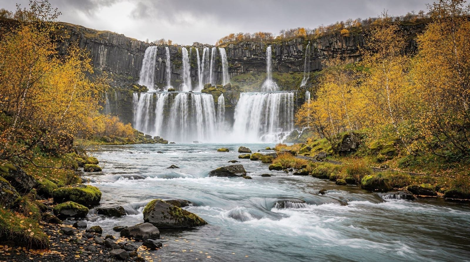
Fjaðrárgljúfur canyon — the serpentine gorge of South Iceland
Fjaðrárgljúfur canyon: 2 km long, 100 m deep, carved by glacial meltwater. Rim walking trail, no admission fee. Near Kirkjubæjarklaustur on the South
Reykjavik: Glacier Lagoon fjadrargljufur canyon
Quick facts
- Best time to visit
- June to September for full trail access; canyon visible year-round
- Days needed
- 1 to 2 hours for the canyon walk
- Getting there
- 270 km east of Reykjavík; 5 km north of Kirkjubæjarklaustur on Route F206
- Budget per day
- ISK 700 parking / EUR 5; entry free
Iceland’s most dramatic gorge south of Vatnajökull
Fjaðrárgljúfur is a canyon cut by the Fjaðrá river through a plateau of soft palagonite tuff (móberg), a volcanic rock formed when lava erupts or flows into ice or water and is rapidly quenched. The result is a relatively soft, easily eroded material. When massive volumes of glacial meltwater began flowing after the last ice age, the Fjaðrá cut down through this tuff at a rate that hard basalt would not permit, carving a gorge 2 km long and in places 100 metres deep with near-vertical walls.
The canyon is approximately 270 km east of Reykjavík on Ring Road 1, then 5 km north of Kirkjubæjarklaustur on Route F206 (this section of F206 is driveable in a 2WD in summer but is rough gravel; in spring and autumn it can be muddy). The canyon sits at the edge of the Eldhraun lava field — the largest lava flow in the world by volume produced in historical time, formed during the Lakagígar eruption of 1783–1784.
The canyon from above
The visitor trail follows the eastern rim of the canyon for approximately 1.2 km one way, with several marked viewpoints looking down into the gorge. The views are arresting: the canyon walls are pale grey-brown tuff layered in horizontal bands, the river at the bottom is turquoise against dark rock, and the canyon meanders in serpentine curves rather than running straight — the Fjaðrá has excavated lateral bends as well as downward, creating a sinuous void in the plateau.
The trail is not technically difficult, but the rim path has no barriers above the canyon drop and requires normal attention near the edge. The surface is volcanic rock and can be slippery when wet. The return trip (2.4 km total) with time at viewpoints takes 60–90 minutes.
There is a secondary path that descends to the canyon floor at the downstream end, following the river for a short distance. This gives a different perspective — looking up at the canyon walls from below — but the descent is steep and can be muddy. The floor walk extends the visit by another 30–45 minutes.
Admission to the canyon trail is free. Parking at the designated car park costs ISK 700 (EUR 5). There are basic toilet facilities at the car park but no café or services.
Glacier Lagoon and Fjaðrárgljúfur canyon tour from Reykjavík — combines the canyon stop with a visit to Jökulsárlón glacier lagoon. ISK 22,000–28,000 (EUR 145–185). This makes sense as a combined day; the canyon and the lagoon are approximately 80 km apart in the eastern South Coast zone, and neither receives the same volume of tour traffic as the western South Coast sites.
Justin Bieber and the visitor impact problem
In 2017, the music video for Justin Bieber’s “I’ll Show You” was filmed at Fjaðrárgljúfur. The video went viral and visitor numbers to the previously obscure canyon spiked dramatically — annual visits went from a few thousand to tens of thousands. The trail was closed twice in subsequent years (2019 and 2020) due to vegetation damage from visitors leaving the marked path.
The canyon is now managed more carefully, with defined walking trails and parking controls. The Bieber-driven surge has permanently raised the canyon’s profile; it is now a standard stop on eastern South Coast itineraries. The trail damage from the peak influx years has partially recovered.
The lesson here is practical: if you are visiting in July or August, arrive before 10:00 or after 16:00 to find the car park less crowded. The canyon is finite and the rim path narrow enough that large numbers of visitors simultaneously degrade the experience.
Geology in detail
The palagonite tuff (móberg) that forms the canyon walls is Iceland-specific in its prevalence. It forms when basaltic magma encounters water or ice, producing hyaloclastite — a glassy, unconsolidated volcanic material that then weathers into palagonite. The distinctive pale yellow-brown colour is characteristic. This rock type is softer than the solid basalt of most Icelandic lava flows, which is why the Fjaðrá could carve a canyon through it in geologically short timescales.
The canyon’s age is estimated at around 9,000 years — it began forming at the end of the last glaciation when meltwater volumes were at their maximum. The rate of cutting has slowed significantly as the water volumes stabilised.
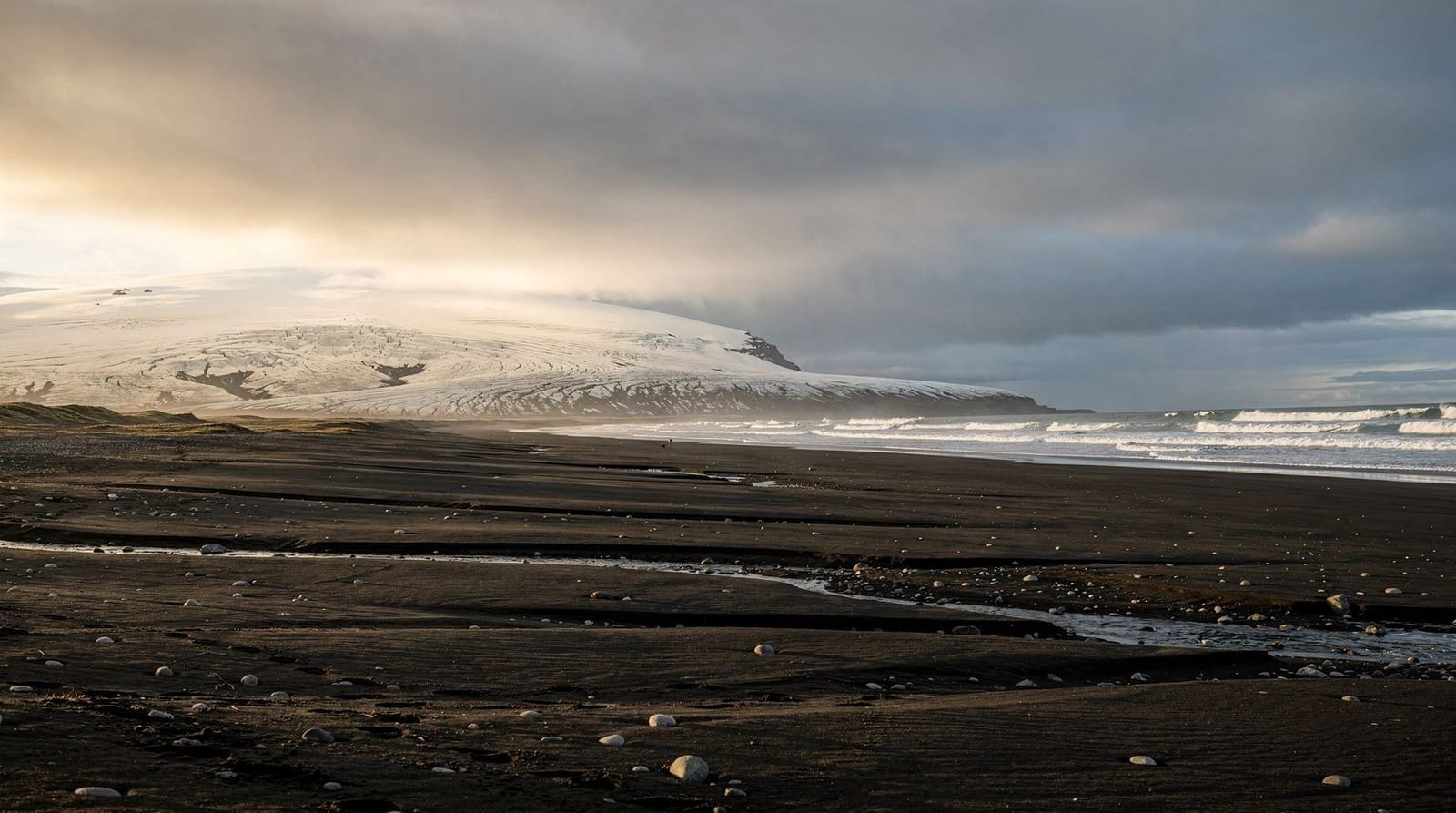
The Eldhraun lava field visible from the canyon rim is a historical reminder of Iceland’s catastrophic volcanic events. The 1783 Lakagígar eruption released an estimated 14.7 km³ of lava over 8 months — the largest effusive eruption in recorded history. The resulting haze (the “Laki haze”) covered Europe and contributed to severe famines in France in 1784–1785, with cascading effects on the events leading to the French Revolution. The black lava field visible to the south is a direct remnant.
The lava field context: Eldhraun
The Eldhraun lava field visible from and surrounding the Fjaðrárgljúfur access road is one of the most significant landscapes in Iceland’s historical geology. The 1783–1784 Lakagígar eruption released approximately 14.7 km³ of basaltic lava — the largest single eruption by volume in the last 500 years anywhere on Earth — plus massive quantities of sulphur dioxide gas.
The gas release (estimated at 120 million tonnes of SO₂) created an acid fog that blanketed Iceland and much of Europe throughout the summer of 1783. In Iceland alone, the “Haze Famine” (Móðuharðindin) killed approximately 9,000 people — around 22% of the population — primarily through crop failure and livestock death from fluorine poisoning. In Europe, the haze contributed to agricultural failures in 1784 that are now considered a contributing factor to the social conditions preceding the French Revolution.
The lava field itself covers 565 km², an area larger than Hong Kong. It is now covered in moss — Iceland’s lava fields accumulate a thick sphagnum moss layer over centuries — giving the Eldhraun a green-grey carpet that looks almost velvety from a distance. Walking on the moss is prohibited as it takes centuries to re-establish once damaged.
Driving Ring Road 1 through the Eldhraun gives a direct experience of Iceland’s volcanic scale that no photograph fully conveys. The lava extends to the horizon in every direction. The canyon of Fjaðrárgljúfur is, in geological terms, a much older feature cutting through an older tuff formation — the Eldhraun flowed around and over the edges of this terrain in 1783 and is now its immediate neighbor.
Light and photography conditions
The optimal photographic visit to Fjaðrárgljúfur depends on light direction and season:
Summer mornings (06:00–09:00): Low eastern light catches the canyon walls obliquely, emphasising the horizontal banding in the tuff and producing strong shadows in the canyon curves. The turquoise river is lit directly.
Summer evenings (20:00–23:00): In June and July, Iceland’s midnight sun keeps light quality good until well past midnight. Warm evening light from the northwest illuminates the canyon walls differently from morning and gives a golden tone to the pale rock.
Overcast days: The soft light prevents blown-out sky contrasts and brings out the wall colour more evenly than direct sun. Cloudy days are not necessarily worse for photography at this site.
Winter (November–March): The canyon is accessible but the trail can be icy and winter light is limited to 4–6 hours. The snow-dusted canyon edges provide unusual compositions but require appropriate footwear and care.
The most common compositional mistake is including too much sky — the canyon walls and river are the subject, not the sky. A low-angle shot from the rim path maximising wall and river content typically produces better images than wide shots that include large blank sky areas.
The Kirkjubæjarklaustur area
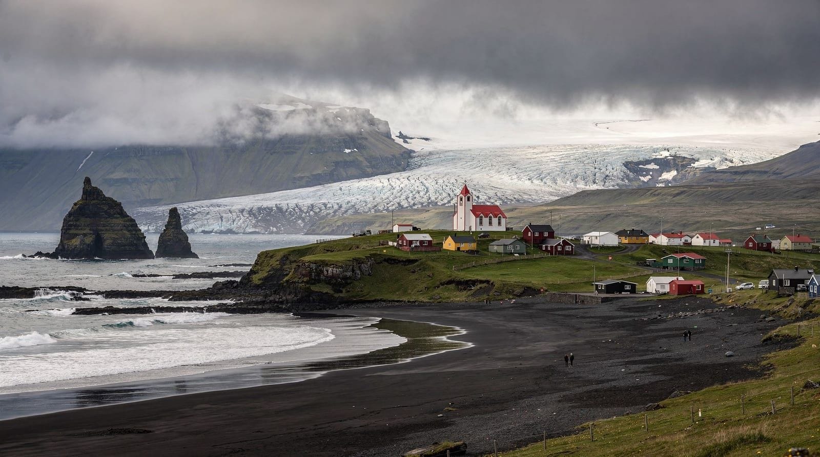
Kirkjubæjarklaustur (universally shortened to “Klaustur” by everyone who lives within 100 km) is the nearest village to Fjaðrárgljúfur, 5 km to the south. It has a petrol station, a supermarket (Samkaup), a couple of guesthouses, and a handful of cafés. For travellers driving the South Coast, Klaustur is a natural stop for fuel and food between Vík (90 km west) and the Jökulsárlón area (80 km east).
The Systrafoss waterfall and Systravatn lake are a short walk from Klaustur — a minor but pleasant diversion. The Kirkjubæjarklausterkirkja church (founded as a Benedictine convent in 1186) and the nearby hexagonal rock columns of Kirkjugólf (“Church Floor”) are both worth a quick stop. Kirkjugólf is a pavement of basalt columns eroded flat by glaciers — it looks eerily like a church floor, which is how it got the name.
Practical notes
Road access: From Ring Road 1, turn north onto Route F206 approximately 5 km west of Kirkjubæjarklaustur. The “F” designation means it is technically a highland road, but the section to the Fjaðrárgljúfur car park is only 5 km of rough gravel road. In dry summer conditions, a 2WD sedan with adequate clearance can manage it. In spring or after rain, a higher-clearance vehicle is preferable. Do not confuse this section with the deeper highland F-roads that require 4WD.
Season: Full trail access June–September. In shoulder season (April–May, October), conditions vary. The canyon is visible from the rim road in winter, but the trail can be icy and dangerous.
Facilities: Car park with toilets. No food, water, or shelter at the canyon. Bring water and snacks for the walk.
What else is near Fjaðrárgljúfur
The canyon is 5 km from Kirkjubæjarklaustur and can be combined with several nearby stops:
Lakagígar (Laki craters): The source of the 1783 Eldhraun lava field is accessible from Klaustur on the F206 highland road — but this requires a 4WD vehicle and the full F-road is not open until July. The Laki craters themselves (a row of 130 craters stretching 27 km) are one of the most remarkable geological features in Iceland, but are a separate full-day highland excursion rather than a casual add-on.
Núpsstaður: A traditional farm 15 km east of Klaustur beneath the Núpsstöðurhlíðar cliffs, with a 17th-century turf church. The church is one of Iceland’s smallest and oldest surviving examples of traditional turf-and-stone construction. Accessible from Ring Road 1.
Skaftá river mouth: The dramatic sandur plain east of Klaustur, where the Skaftá river meets the coast. The Skaftá produced a catastrophic jökulhlaup flood in 2015 when a subglacial volcanic eruption beneath Vatnajökull caused a sudden release of meltwater. The bridge crossing on Ring Road 1 was undamaged, but the scale of the river valley gives a sense of the glacial drainage volumes.
Systrafoss waterfall: A short walk from Klaustur town centre, a modest but pleasant waterfall dropping through birch woodland. Free access; 30 minutes round trip.
Wildlife along the canyon route
The Fjaðrárgljúfur area sees significant birdlife, particularly in spring and summer. The canyon edges provide nesting habitat for ravens, who are permanent residents and are frequently visible soaring along the rim. Whooper swans nest on the lowland wetlands between Klaustur and the coast; the flat ground between the Ring Road and the sea is one of Iceland’s more productive swan breeding areas.
Arctic skuas (parasitic jaegers) breed on the heathland south of Klaustur and are aggressively territorial in June and July — if you are walking away from the marked paths, watch for low-flying dive attacks. Unlike the Arctic tern, the skua is considerably larger and more intimidating. A raised arm or a stick held overhead deters them.
The Fjaðrá river itself has Arctic charr — the native Icelandic salmonid present in most cold, clear rivers. The river is part of a protected area, and fishing requires a permit from the local landowner.
Frequently asked questions about Fjaðrárgljúfur
Is Fjaðrárgljúfur worth the detour?
Yes, if you are driving the South Coast as far as Kirkjubæjarklaustur or Jökulsárlón. The 10-minute detour off Ring Road 1 requires no special equipment and the canyon is genuinely impressive. If you are doing a quick day trip from Reykjavík to Vík and back, the canyon is too far east to include without making the day very long.
Can I access Fjaðrárgljúfur with a 2WD car?
In summer (June–September) with dry conditions, yes — the F206 section to the car park is rough gravel but manageable for a standard 2WD sedan with average clearance. In spring or after rain, the soft ground may be problematic. A 4WD is not required for this specific site.
Why is the water in the canyon turquoise?
The Fjaðrá river runs over pale volcanic rock and sediment. The combination of the shallow depth, the white/grey tuff riverbed, and the clarity of the water produces the turquoise appearance. Similar colours occur in other Icelandic rivers over pale volcanic substrates.
How busy does Fjaðrárgljúfur get?
Since the 2017 Bieber video, significantly busier than before. Peak times are July–August midday. Early morning and late afternoon are considerably less crowded. The car park is finite; if it is full, wait for a space rather than parking on the verge.
Are there toilets at Fjaðrárgljúfur?
Basic public toilets are available at the car park. No other facilities at the site.
How does Fjaðrárgljúfur compare to other Icelandic canyons?
Fjaðrárgljúfur is known for its depth and serpentine shape rather than sheer size. Ásbyrgi in the north is wider and has a different character (horseshoe-shaped, forested). Stuðlagil canyon in East Iceland has extraordinary basalt column density. Fjaðrárgljúfur is the most accessible of Iceland’s major canyons and the most visually dramatic in terms of the rim-to-floor contrast.
Top experiences
Bookable activities with verified prices and instant confirmation on GetYourGuide.

Top-rated experiences in Fjaðrárgljúfur canyon — the serpentine gorge of South Iceland
Best-rated activities across GetYourGuide and Viator.