Vík í Mýrdal — Iceland's most dramatic village
Complete guide to Vík í Mýrdal in South Iceland — black sand beaches, basalt sea stacks, Katla ice caves, and the best stop on the South Coast drive.
Vik: South Coast Iceland private tour
Quick facts
- Best time
- Year-round; June–Aug for puffins, Oct–Mar for ice caves
- Days needed
- 1 day (base for 2–3 day South Coast trip)
- Getting there
- ~2h 30min drive from Reykjavík via Route 1 (185 km)
- Budget per day
- ~15,000–22,000 ISK / €100–145
Vík í Mýrdal — simply called Vík by most visitors — sits at the very southern tip of Iceland’s mainland, hemmed in by the Atlantic on one side and the Mýrdalsjökull glacier on the other. With a permanent population of around 300, it punches well above its weight as a travel destination, serving as the de facto hub for the eastern South Coast and the launch point for some of Iceland’s most popular day activities.
The town itself is small enough to walk end-to-end in ten minutes, but the setting is extraordinary: black basalt cliffs, a church on a hilltop, and the relentless North Atlantic pounding the shore. Most travellers stop here as part of a South Coast day trip from Reykjavík, or use it as an overnight base for a more leisurely two- or three-day exploration.
The lay of the land
Vík sits on Route 1 (the Ring Road), roughly 185 km east of Reykjavík. The town centre clusters around a petrol station, a couple of accommodation options, a supermarket (Krónan), and a handful of restaurants. The famous Reynisfjara black-sand beach lies about 5 km west of the village centre — it is technically a separate stop but inseparable from a Vík visit.
To the east, the Mýrdalsjökull ice cap dominates the skyline. This glacier sits atop Katla, one of Iceland’s most active volcanoes. When Katla eventually erupts — and it has been overdue since around 2010 — Vík would be in the direct path of a glacial flood (jökulhlaup). The town has an emergency siren and evacuation routes clearly marked; locals treat it with pragmatic calm rather than panic.
The church (Víkurkirkja) on the hill is genuinely useful as an emergency assembly point during a Katla jökulhlaup — the hill sits above the anticipated flood line. It also offers the best panoramic view over Reynisfjara and the sea stacks from above.
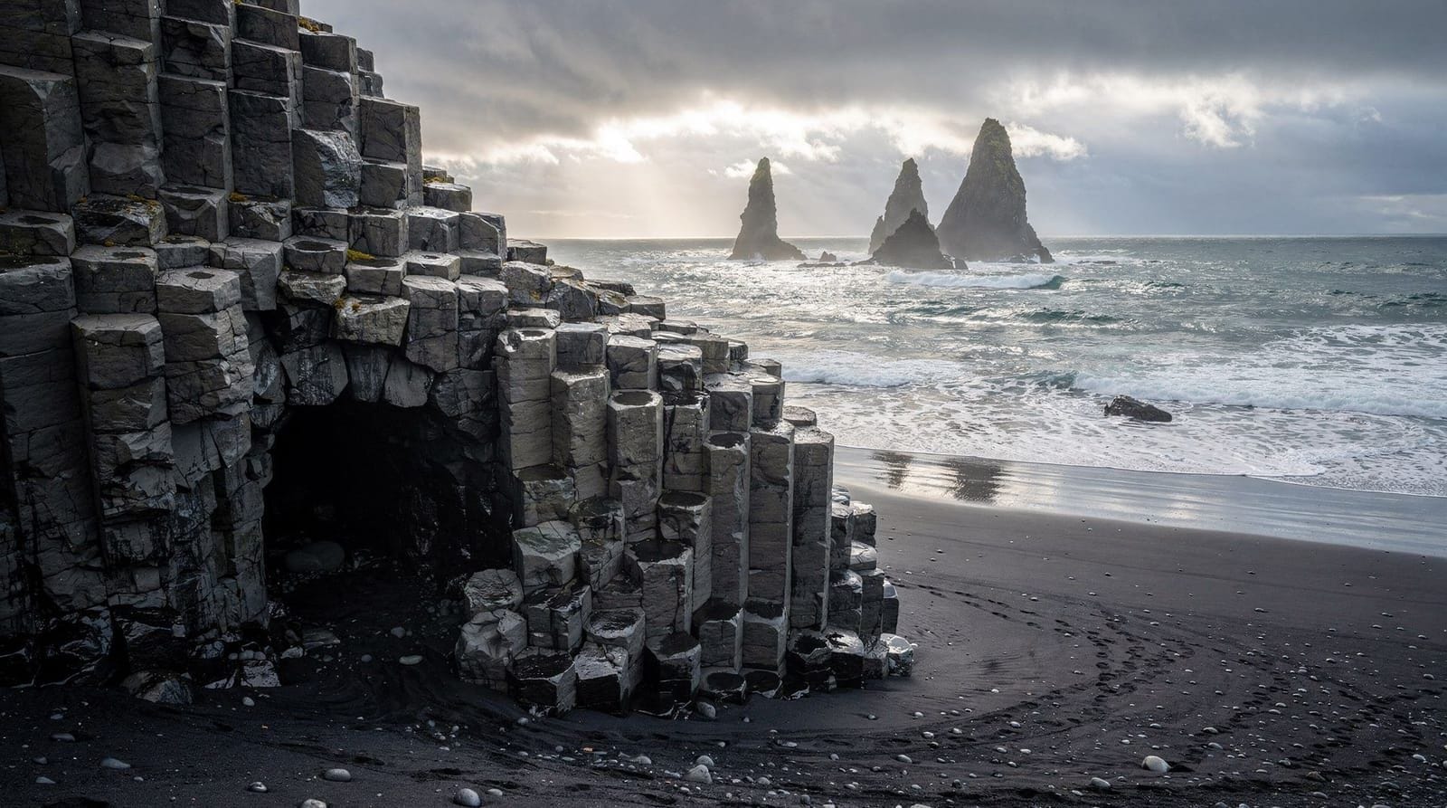
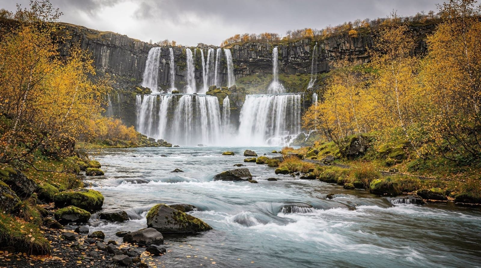
Reynisfjara and the basalt columns
The short drive west to Reynisfjara is essentially mandatory. This is Iceland’s most photographed beach — hexagonal basalt columns stacked like a giant’s honeycomb, sea stacks (Reynisdrangar) rising from the surf, and black volcanic sand underfoot. The beach is free to access and open at all hours.
The rip currents and sneaker waves at Reynisfjara are genuinely dangerous. The Icelandic Met Office and coastguard issue regular warnings; people have died here after being swept off the beach. The rule: never turn your back on the sea, never walk within 30 metres of the waterline unless you are watching the wave pattern closely, and heed any signs about wave activity.
Between May and August, Atlantic puffins nest in the cliff face above the beach. You can observe them from a safe distance with binoculars; the basalt caves at the north end of the beach also provide shelter from wind while you watch.
Sólheimajökull glacier
About 30 km west of Vík, a clearly marked turn-off from Route 1 leads to the Sólheimajökull glacier parking area (free, basic facilities). From here, a 15–20 minute walk takes you to the glacier tongue. You cannot walk on the glacier without a guide and crampons — the crevasses and meltwater channels make it genuinely hazardous.
Guided glacier hikes depart directly from the Sólheimajökull car park several times a day. A standard 2.5- to 3-hour hike costs around 12,000–15,000 ISK (€80–100) per person and includes crampons, helmet, and harness. The guides are licensed by the Icelandic Mountain Guides association; avoid any operator who does not check equipment before departure.
3-hour glacier walk on Sólheimajökull — departing from the glacier car park, crampons and helmet includedSólheimajökull has retreated dramatically — over 1 km since the 1930s — and the differences in ice colour and texture you can see on the glacier reflect decades of volcanic ash deposits from Katla. The darker layers are not dirt; they are ash from historical eruptions, which is actually why parts of the ice look charcoal-grey.
Katla ice cave
Accessible only in winter (roughly October to April, though some operators extend to September), the Katla ice cave sits inside the Mýrdalsjökull glacier and is reached by super-jeep from Vík. The drive takes about 20 minutes on the glacier access road; the cave itself is entered on foot with crampons.
Unlike the crystal-blue ice caves inside Vatnajökull at Jökulsárlón, the Katla cave has a distinctive black-and-blue colouring caused by the volcanic ash layers within the ice. No two winters look exactly the same — the cave structure changes as the ice shifts.
Tours run from Vík itself, typically 3–4 hours total including driving. Costs run 16,000–20,000 ISK (€105–130). Book ahead in winter; the cave becomes inaccessible during warm spells when meltwater makes the access route unstable.
Katla ice cave by super-jeep from Vík — volcanic-ash ice, small groups, crampons providedPractical logistics for Vík
Petrol and supplies: The N1 station in the village centre is the main stop for fuel between Selfoss (about 110 km west) and Kirkjubæjarklaustur (60 km east). Fill up here — the next eastbound petrol stop at Kirkjubæjarklaustur is adequate but prices are slightly higher.
Accommodation: Vík has perhaps a dozen guesthouses and hotels, ranging from the large Hótel Kría (reliable, modern, around 35,000–45,000 ISK/€230–290 per night for a double in high season) to smaller guesthouses at 20,000–28,000 ISK/€130–185. Book several months ahead for June through August. Staying the night means you can reach Reynisfjara very early in the morning before tour buses arrive, which is a genuine improvement.
Eating: Smiðjan Brugghús serves decent pizzas and local craft beer in a converted space off the main road — about 3,500–5,000 ISK/€23–33 for a main course. The Strondin bakery is excellent for soup and pastries in the morning. Avoid the overpriced tourist shops near the petrol station.
Weather: South Iceland weather is mercurial. Even in July, bring a waterproof outer layer and windproof gloves. The gap between the highlands and the sea acts as a wind funnel; the beach at Reynisfjara can be brutal in a south-westerly.
Day trips from Vík
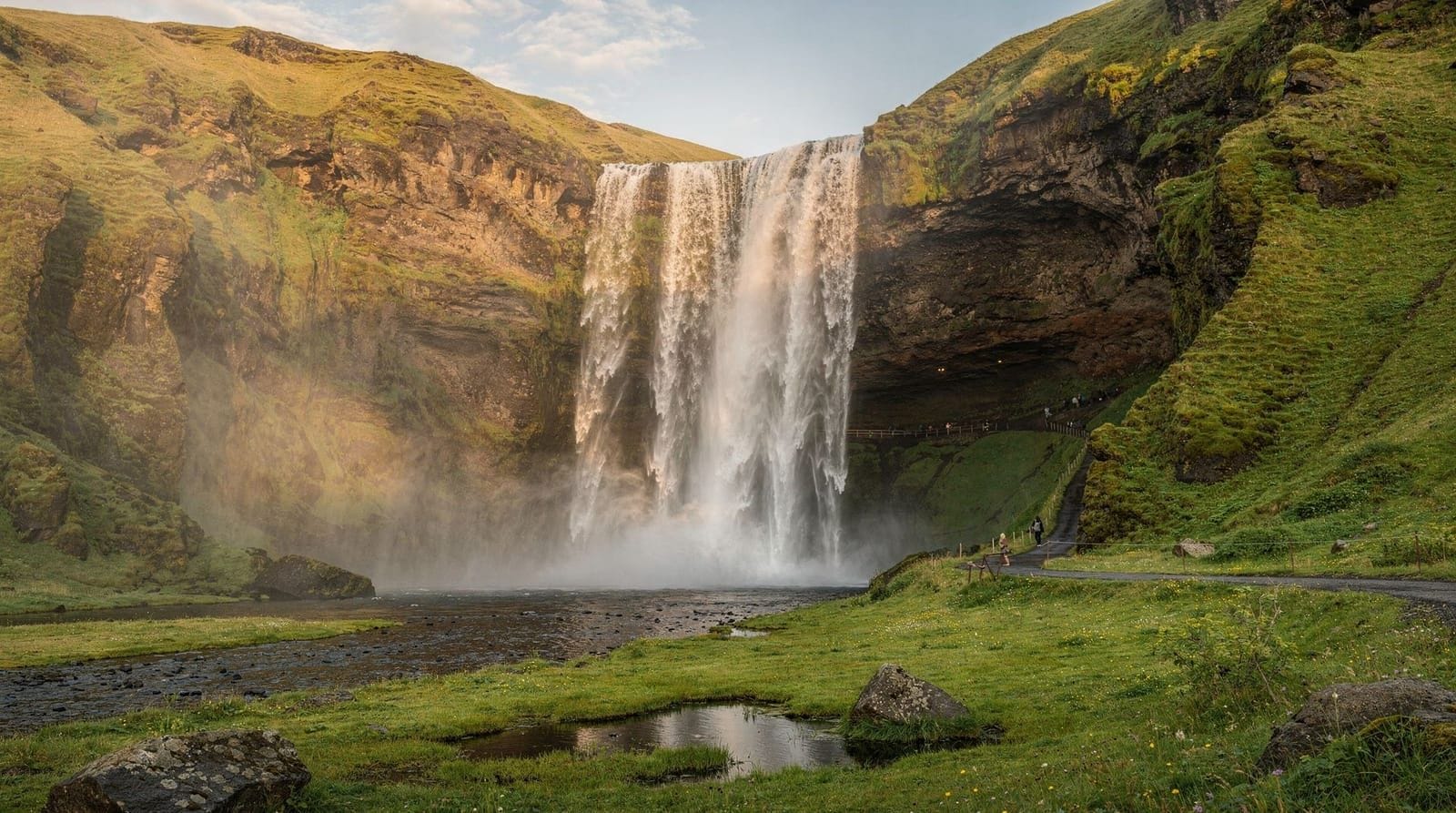
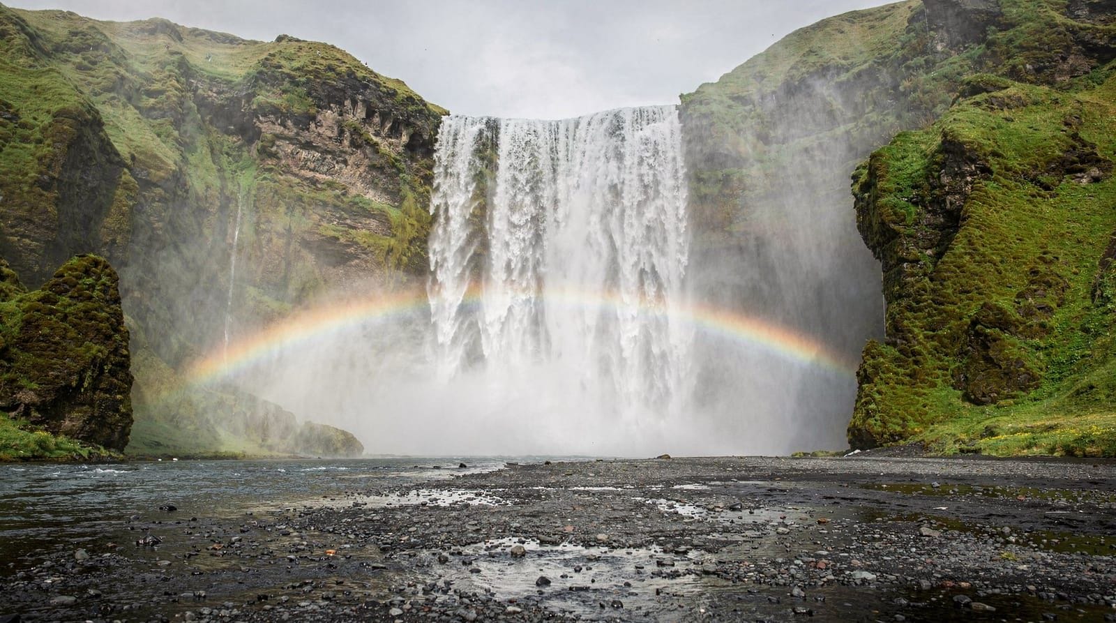
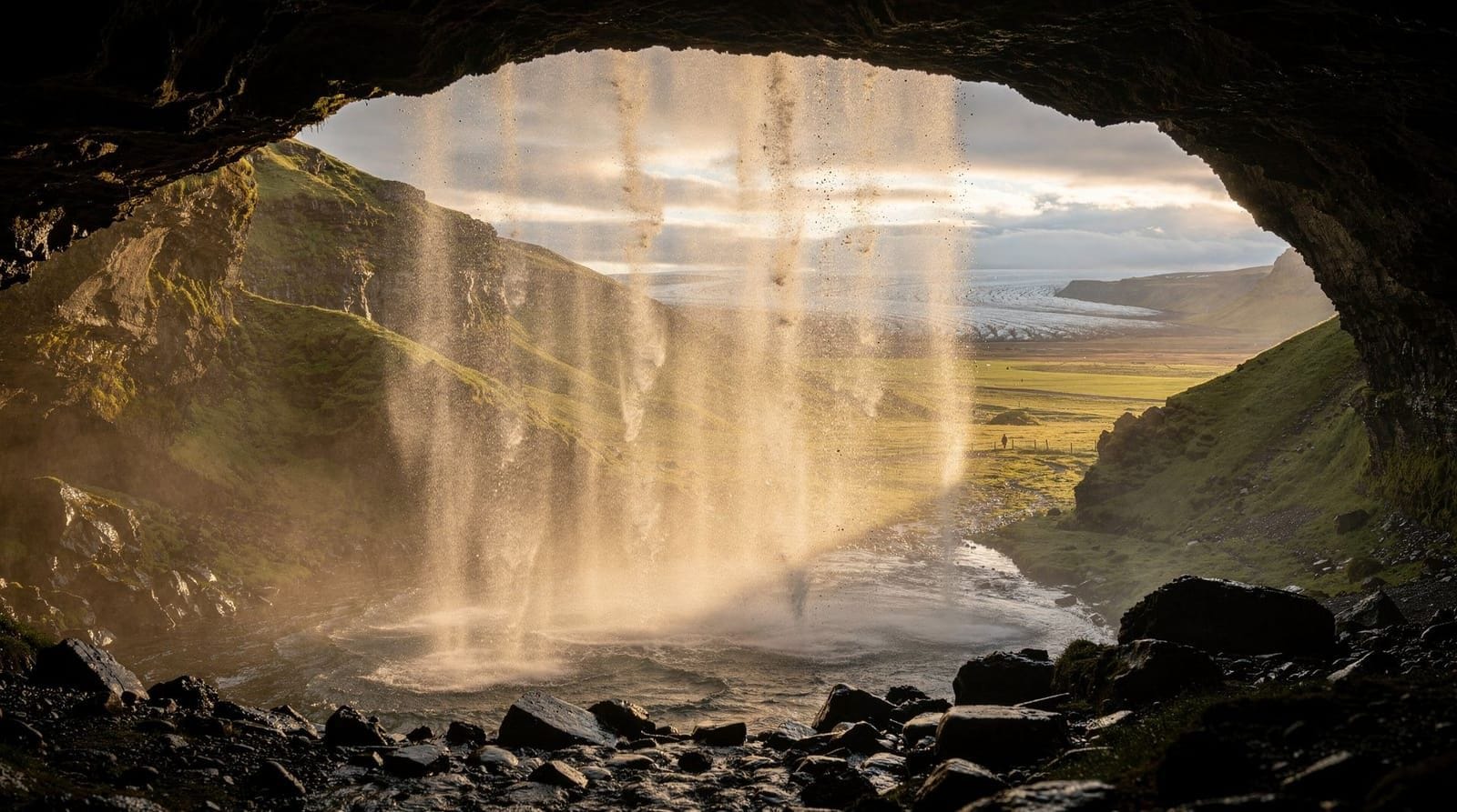
Vík’s position on the Ring Road makes it an excellent base. Within 30 minutes westward, you reach Skógafoss and Seljalandsfoss. Within 30 minutes eastward, the Fjaðrárgljúfur canyon sits just off the road. The full South Coast 3-day itinerary typically uses Vík as its first overnight stop.
If you are based in Reykjavík and considering a full-day South Coast tour, note that most commercial day trips cover the western South Coast — waterfalls, Reynisfjara, and Sólheimajökull — without continuing east to Jökulsárlón or Skaftafell. Those eastern sites require at least one night in Vík or further east, or a very early start with a private tour.
South Coast full-day tour from Vík: black beach, waterfalls, and glacier hike combinedGetting to Vík
By car (recommended): Route 1 eastbound from Reykjavík is entirely paved and well-maintained year-round. Winter driving requires care — black ice is common between October and April, and occasional road closures due to blizzard or flooding do occur. Check road.is before departing. Driving time is 2h 30min to 2h 45min depending on stops.
By bus: Strætó service 51 runs the Ring Road between Reykjavík and Höfn, stopping in Vík. Journey time from Reykjavík is roughly 3h 30min, with one or two departures per day. The schedule is inconvenient for day trips; it suits travellers doing a multi-day self-drive with one-way drop-offs.
Guided tours: South Coast day trips from Reykjavík include Vík as a stop, but the allocated time is typically 20–30 minutes — enough for a photo at the church overlook but not a proper exploration.
The Katla volcano: context for visitors
Vík is built on the outwash plain of the Mýrdalsjökull glacier, directly in the path of any future Katla eruption’s glacial flood. The town’s location — at the foot of a volcano — is not hidden from residents or visitors, and the Icelandic approach to this situation is instructive.
Katla last had a confirmed sub-glacial eruption in 2011, which caused a minor jökulhlaup on the east side of the glacier. Before that, the last full eruption was in 1918 — a major event that sent floods across the entire sandur south of the glacier to the sea within hours. Katla erupts roughly every 50–100 years based on historical records, though the interval is not regular.
The hazard is real and documented. The town’s emergency plan includes an automated siren system, designated assembly points (the church on the hill being the primary one), and clear evacuation routes to high ground. Crucially, Katla is one of the most intensively monitored volcanoes in the world — the Icelandic Met Office operates a network of seismometers, GPS stations, and gas sensors that would detect the precursor activity of a major eruption weeks to months in advance.
For the practical visitor: the risk of a Katla eruption during any specific visit is negligible. The monitoring systems provide sufficient warning for evacuation. Travel insurance that covers volcanic disruption (flight cancellations, road closures) is worth having for an Iceland trip generally, but the specific risk in Vík should not deter anyone from visiting.
Þórsmörk and the highland access from Vík
Forty kilometres north of Vík, accessible only by super-jeep due to multiple river crossings, is Þórsmörk (Thorsmork) — one of Iceland’s most spectacular highland valleys. Sheltered between three glaciers (Mýrdalsjökull, Eyjafjallajökull, and Tindfjallajökull), the valley has a dramatically different microclimate from the coast: warmer, calmer, with birch woodland and wildflowers in summer.
Þórsmörk is the destination for Fimmvörðuháls hikers coming from Skógafoss, and it is the northern terminus of the Laugavegur trail (Iceland’s most popular multi-day hike, connecting Landmannalaugar to Þórsmörk over 4–5 days). It is not accessible by standard vehicle — the river crossings require the high clearance and four-wheel drive of a super-jeep.
Day tours from Vík run regularly in summer and take about 4–5 hours including driving. This is one of the better day activities available from Vík for visitors who want to see the highland landscape without committing to a multi-day hike.
The landscape of the Eldhraun lava field
Between Vík and Kirkjubæjarklaustur (60 km east), Route 1 passes through the Eldhraun lava field — one of the largest lava flows of the past 1,000 years anywhere on Earth. The Lakagígar (Laki craters) eruption of 1783–1784 produced approximately 14 cubic kilometres of lava that flowed south to the sea, covering around 600 square kilometres with a blanket of jagged basalt now entirely covered in bright green moss.
The moss on Eldhraun grows about 1 mm per decade and takes hundreds of years to establish. Walking on the moss kills it and leaves damage that persists for generations — it is strictly prohibited and tourists have received significant fines for ignoring the signs. View the lava field from the road; the visual effect of the moss-covered lava from the car window is striking enough.
The 1783 eruption killed approximately 25% of Iceland’s population through famine and disease caused by the toxic gas cloud and subsequent climate disruption. It is considered one of the most consequential volcanic events in recorded history.
Frequently asked questions about Vík í Mýrdal
Is Vík worth staying overnight rather than visiting on a day trip?
Yes, if you are planning to continue east to Jökulsárlón or Vatnajökull National Park. Staying overnight means you start the eastern leg fresh rather than returning to Reykjavík and starting again the next day. It also lets you see Reynisfjara at golden hour or early morning when it is far less crowded.
How dangerous is Reynisfjara beach?
The sneaker waves at Reynisfjara have caused multiple fatalities. The danger is real and not exaggerated by signs. Waves can reach the upper beach without warning, and the slope of the sand means retreating quickly is difficult. Stay well back from the waterline, watch the sea pattern for at least two minutes before approaching, and never stand with your back to the ocean.
When does the Katla ice cave season run?
Most operators run Katla ice cave tours from October to April. Some extend into September in cold years. The cave is not accessible in summer because the access glacier road becomes unstable with meltwater. Book at least a week ahead in peak winter months (December–February).
Can I hike Sólheimajökull independently without a guide?
No. You can walk to the glacier edge on your own, but accessing the glacier itself without a guide and crampons is both illegal under the national park access rules and genuinely dangerous due to crevasses. All guided hikes include equipment and a licensed guide.
Is there a risk from Katla volcano during my visit?
Katla is monitored continuously by the Icelandic Meteorological Office. An eruption would give some hours of warning — enough for evacuation. The town has tested its siren system, and the evacuation routes to the hilltop church are clearly marked. Travel insurance covering volcanic disruption is worth considering but the statistical risk on any given visit is extremely low.
What is the best time to see puffins near Vík?
Atlantic puffins are present at Reynisfjara and the Reynisdrangar stacks from approximately mid-May to mid-August. Peak nesting activity is June and July. They tend to land on the cliffs in the early evening. A basic pair of binoculars is helpful for watching from a safe distance without disturbing nesting birds.
Is Route 1 drivable in winter between Reykjavík and Vík?
Route 1 to Vík is kept open year-round, but winter driving requires a 4WD or AWD vehicle with winter tyres, which all Icelandic rental cars provide during the winter months. The Vik area specifically can receive very strong winds and occasional blizzards. Always check road.is and safetravel.is before setting out from Reykjavík between October and April.
Top experiences
Bookable activities with verified prices and instant confirmation on GetYourGuide.

Top-rated experiences in Vík í Mýrdal — Iceland's most dramatic village
Best-rated activities across GetYourGuide and Viator.